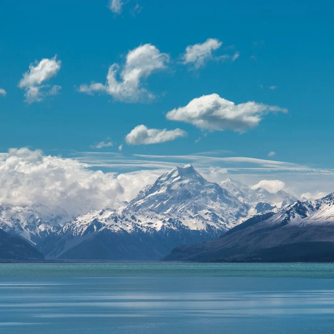
- New Zealand’s highest mountain, at 3,724 metres
- Part of the Te Wāhipounamu South West New Zealand World Heritage Area
- About three and a half hours’ drive each way from Queenstown
- Home to the Hooker Valley Track and New Zealand’s longest glacier
- Weather changes fast here, in every season
- Snow can close the road into the park in winter
What and where is Aoraki/Mount Cook?
Aoraki/Mount Cook National Park sits in the middle of the South Island, at the end of State Highway 80. The mountain is the highest of the Southern Alps (Kā Tiritiri o te Moana), and the park is part of Te Wāhipounamu, the World Heritage Area that also takes in Fiordland.
To Ngāi Tahu, Aoraki is the most sacred of ancestors. In the story, Aoraki was a young boy in a canoe that ran aground on a reef. He and his brothers climbed onto the high side, where the south wind froze them and turned them to stone, forming the Southern Alps. The European name came later, in 1851, when Captain J. L. Stokes named the mountain after Captain James Cook.
The summit was first reached in 1894, by three New Zealanders: Tom Fyfe, Jack Clarke and George Graham. Sir Edmund Hillary climbed here long before Everest. His first major climb, in 1939, was Mount Ollivier near Aoraki, and in 1948 he climbed the mountain’s south ridge, which was renamed Hillary Ridge in 2011.
There is almost no forest in the park. Instead there are more than 300 species of alpine plants, including the Mount Cook lily, the largest buttercup in the world. Look out for kea, the cheeky mountain parrot.
Queenstown to Aoraki/Mount Cook: the drive
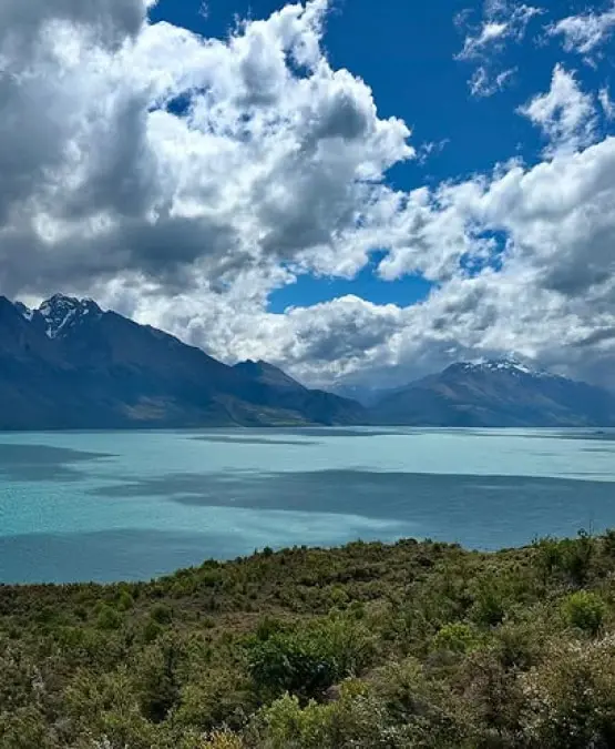
The route heads east through the Kawarau Gorge to Cromwell, then north over the Lindis Pass, one of the South Island’s high-country passes, and down to Omarama, a good place for a break. From there it crosses the Mackenzie Country to Lake Pukaki, and follows the lake’s western shore into the national park, with views up the lake to the mountains on a clear day.
The national park visitor centre is in Aoraki/Mount Cook Village, a very small alpine village at the end of the road. It has a petrol station and a few places to eat. The nearest supermarkets are in Twizel, about an hour away.
How to get to Aoraki/Mount Cook from Queenstown
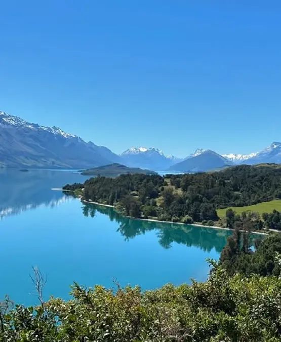
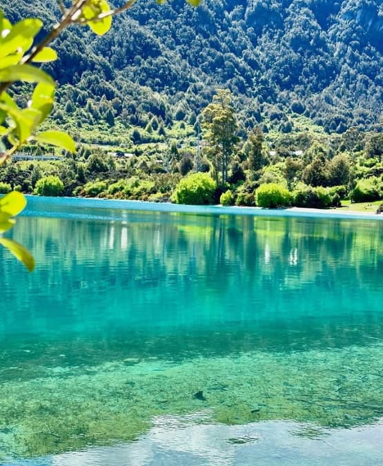
Driving yourself. About three and a half hours each way on sealed roads, and one of the most stunning drives in New Zealand: the Kawarau Gorge, the tussock hills of the Lindis Pass, then the turquoise water of Lake Pukaki with the Southern Alps rising beyond it. Driving gives you the most control over your time. The trade-off is seven hours behind the wheel, and in winter you need to check the road before you set off.
Coach tour. Coach companies offer Aoraki/Mount Cook day tours from Queenstown. You are on a set timetable with fixed stops and a set amount of time in the park.
Scenic flight. Flights from Queenstown take you over the Southern Alps to Aoraki/Mount Cook and back. The fastest way to see the mountain, and can be the most expensive. Flights depend on the weather.
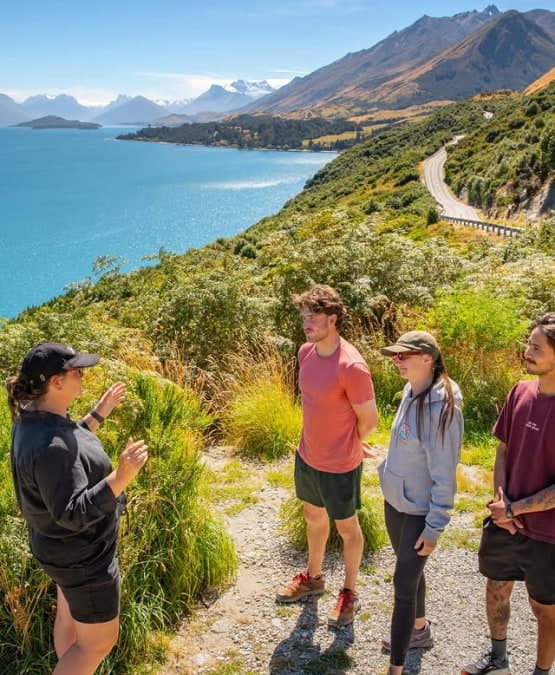
Private tour. Your own group and a guide for the day. The vehicle is not shared, and the guide plans the stops and the time in the park around what your group wants to do. It costs more than a coach seat, and it suits people who want a local guide’s judgement on how to spend a short window in the park.
Things to do at Aoraki/Mount Cook in a day
Hooker Valley Track. One of New Zealand’s best day walks. It leads up the Hooker Valley over three swing bridges to Hooker Lake, at the foot of Aoraki, where icebergs float on the lake in summer. The track is gravel with some steps, about 10 kilometres return, and DOC says to allow three to four hours. The second swing bridge, opened in July 2026, is 189 metres long, the longest suspension bridge in New Zealand.
Tasman Glacier and Tasman Lake. The Tasman Glacier is New Zealand’s longest, at 23 kilometres. The Tasman Glacier View Track is a short, steep climb, more than 300 steps and about 30 minutes return, to a viewpoint over Tasman Lake and the glacier at its far end. The lake did not exist until 1974, and it is growing as the glacier melts.
Boat trip on Tasman Lake. Boat trips go out on the glacier lake below the Tasman Glacier. They need booking ahead and depend on the weather.
Kea Point Track. A gentle walk through tussock and scrub to a viewing deck looking over the Mueller Glacier lake to Aoraki and Mount Sefton. About an hour return from the White Horse Hill campground, or two hours from the village. DOC gives a height gain of 180 metres over 3 kilometres.
Scenic flights from the park. Scenic helicopter and ski-plane flights are available in the park. Book ahead, and expect them to be weather dependent.
The village. The DOC visitor centre has exhibits and an artwork collection about the park, and the village has a few places for a coffee or a meal. The Hermitage hotel is home to the Sir Edmund Hillary Alpine Centre, and a bronze statue of Hillary stands outside it.
How to fit Aoraki/Mount Cook into a day trip
On a day trip from Queenstown, you will have around three hours in the park. That is enough for one of these, not all of them:
- The Hooker Valley Track fills the time on its own. It is the walk most people come for, and it gets you closest to the mountain.
- A boat trip on Tasman Lake takes you out on the glacier lake, if you book ahead and the weather allows.
- A scenic flight gives you the glaciers and the summit from above, again if the weather allows.
- Shorter walks, the Tasman Glacier viewpoint and Kea Point together, give you the glacier and a view of the mountain with time left for the village.
If you want to do more than one of these, it is a case for staying the night.
Aoraki/Mount Cook weather and the best time to visit
The weather here changes fast. Strong wind, heavy rain, snow and sharp drops in temperature can come through at any time of year, so bring warm and waterproof layers whatever the forecast says. Aoraki is not visible every day. On a clear day you will see it from the shore of Lake Pukaki onwards; on a cloudy one, the valleys and the glaciers are still there to see.
Summer, November to March, is the busiest time. The Hooker Valley Track and the car parks are crowded in the middle of the day, and there are icebergs on the lakes.
Winter, June to September, brings snow. It can close the road into the park, and the Hooker Valley Track gets icy in the shaded sections, where DOC recommends microspikes and walking poles. Tasman Lake can ice over.
Spring and autumn are quieter, with fewer people on the tracks.
Is an Aoraki/Mount Cook day trip from Queenstown worth it?
If you want to see New Zealand’s highest mountain up close and walk into the valley below it, yes. Know what the day involves: about seven hours of driving and a few hours in the park, so around twelve hours from leaving Queenstown to getting back.
If that is more than you want, stay the night. There is accommodation in the village, and more in Twizel. Staying also gives you the night sky: with no towns nearby and downcast lighting in the village, the park is one of the best places in New Zealand for stargazing, and the Hermitage hotel has telescopes and a planetarium.
Practical things before you go
- Fuel. There is a petrol station in the village, but fill up before you leave the main highway to be safe.
- Food. Options in the village are limited. Bring food, or plan where you will eat.
- Parking. DOC charges for parking at White Horse Hill, the start of the Hooker Valley Track, and spaces fill up in summer.
- What to bring. Warm layers, a rain jacket, sunscreen, water and comfortable walking shoes.
- Leave nothing behind. There are few bins in the park, so take your rubbish out with you. The waters that flow from Aoraki are sacred to Ngāi Tahu.
- No drones. Recreational drones are not allowed anywhere in the national park.
- Check the road in winter. Snow can close State Highway 80.